- Glasgow City Council
- > Planning and Building
- > Urban Model
Urban Model
Welcome to the 3D Urban Model
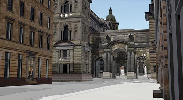
Glasgow City Council is proud to announce the development of our 3D Urban Model. The Glasgow Urban Model is transitioning away from traditional 2D mapping and moving towards an innovative 3D digital representation of the City Centre and River Clyde corridors.
The Urban Model consists of:
- NEW: Light Detection & Ranging (LiDAR) data accuracy 4 points per meter.
- A Photorealistic Model with façade textures, that has an accuracy of +/- 20cm.
- A Block model with a +/- 0.50m accuracy.
Glasgow City Council has received Light Detection and Ranging (LiDAR) data (from the Scottish Government) which enhances the current 3D Model from 2021. This data will work alongside the photorealistic and block data which was procured in 2017.
This coincides with the Scottish Government's vision for delivering services that are fit for the 21st century. This project will be in collaboration with Urban Big Data Centre and the Victoria State Government (Melbourne).
The 3D Model will cover urban development and planning, strategic observation and environmental and climate mitigation.
To find out more information about our 3D Urban Model and Environmental Twin Model and how this model is being used, check out our Storymaps.
Storymaps
Contact Us
For any inquiries, please Email Urban Model Team.


